fbpx
Technology

Google Launches Map With Street Views of Airports, Train and Subway Stations

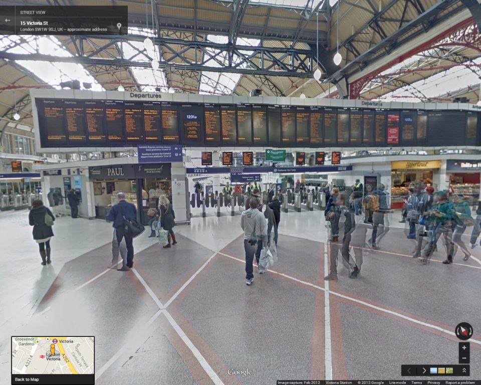
Google is making your traveling experience just a little easier with the latest release of their maps.  Today, Google launched an interactive map that features Street Views of over 65 transportation hubs throughout the world, selected entertainment destinations like the Museum of Flight in Seattle and much more.

Google explains that this is just the beginning in their effort to map out transit destinations throughout the world. Presently, the Street View features 16 international airports, over 50 train and subway stations, museums and more.

In a blog post, Ulf Spitzer, Google Street View program manager, said: “Now, in addition to scoping out your destination, Street View can help you cut down the stress of travelling by giving you a preview of your journey, too.”

“Don’t let travel logistics get you down this holiday season. With Street View, you can see how to get where you’re going faster and easier. Enjoy and safe travels!”

Google’s interactive map, enabling users to select pins representing airports, transit hubs and museums, and to navigate to Google Maps with Street View.
Google Street Map of the Museum of Flight in Seattle.
Google Street View of the Porsche Museum in Germany.
Google Street View of London's Gatwick Airport.
Google Street View of London’s Gatwick Airport.

Related Articles

Airlines Continue to Push Back Boeing 737 Max Schedules

Michael Beener

Southwest Launches Four-Day Wow Sale with Fares Starting at $29

Michael Beener

Alaska Airlines expands West Coast service between Pacific Northwest and California

Michael Beener
X